Site Survey & Aerial Documentation
What This Service Solves
Poor site visibility creates bad assumptions. Roof conditions, exterior obstructions, pathway limitations, access points, and mounting constraints can affect the entire deployment. This service provides field-level documentation before the work starts so the installation plan is based on the actual site, not guesswork.
This is used for pre-install planning, roofline and entry point verification, wireless line-of-sight review, exterior pathway planning, scope clarification, client approval, and change order support.
Aerial Site Context
Aerial documentation gives project stakeholders a better view of the full site layout, including roof structure, surrounding access, nearby obstructions, and possible equipment locations.
This reduces surprises before wireless, cabling, exterior hardware, or rooftop work begins.

What Proper Execution Requires
- Clear documentation of site layout and exterior access conditions
- Roof, pathway, entry point, and mounting condition review
- Line-of-sight and obstruction awareness for wireless planning
- Practical field notes tied to deployment requirements
- Usable images for planning, quoting, turnover, client review, and change order support
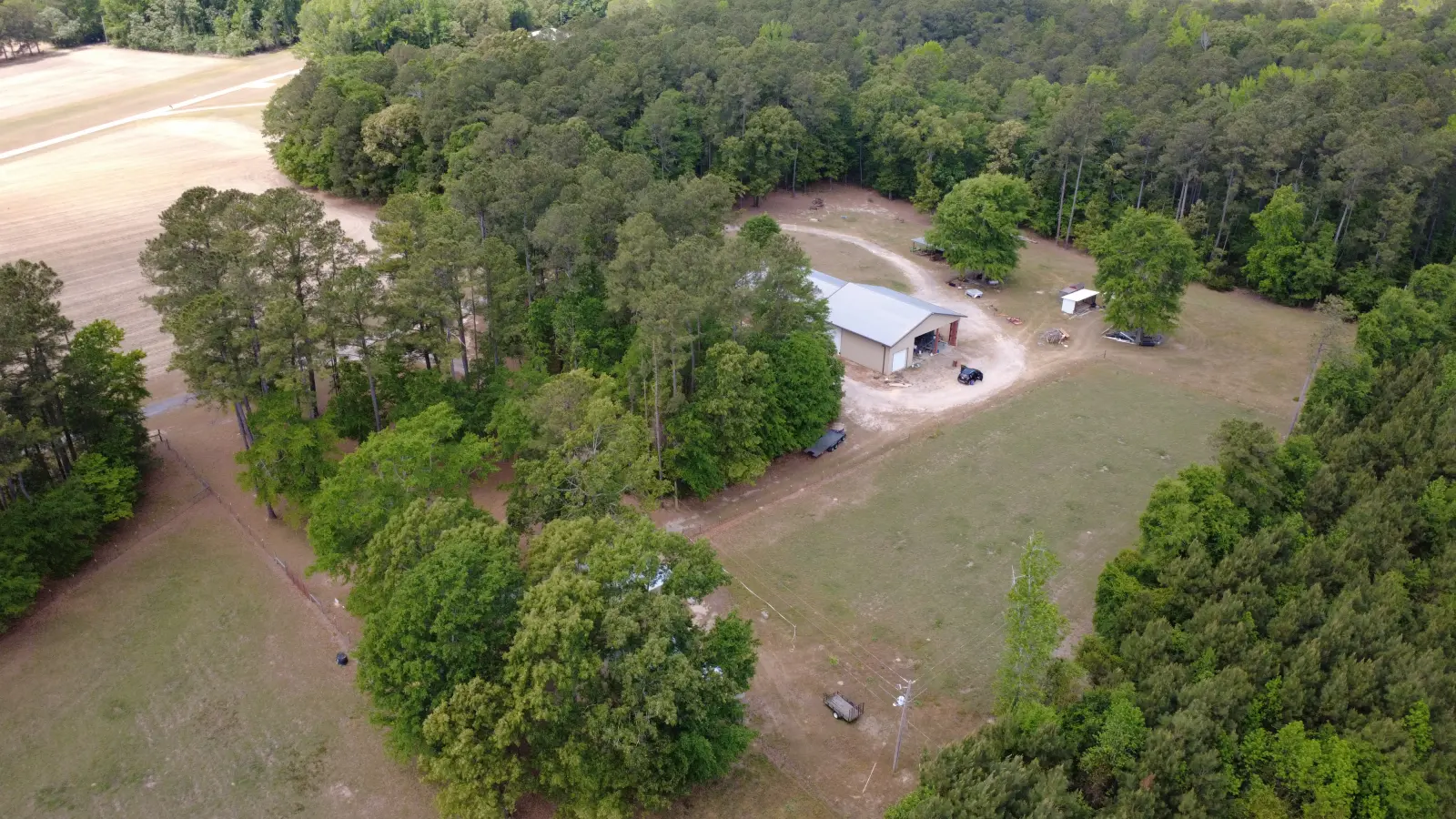
Roof Visibility and Access Review
Roof work should not start blind. A clear view of roof shape, surface conditions, access limitations, and possible cable paths helps determine whether hardware placement is practical before crews arrive.
This is especially useful for Starlink, wireless bridge planning, rooftop antennas, exterior enclosures, and any deployment that depends on a stable roof-side location.
Line-of-Sight and Mount Planning
Wireless links and exterior hardware placement depend on verified conditions, not assumptions. Obstructions, elevation, roof edges, nearby structures, and mounting angles all affect whether the installation will be reliable.
Site documentation helps identify practical mounting locations and avoid poor placement before equipment is installed.

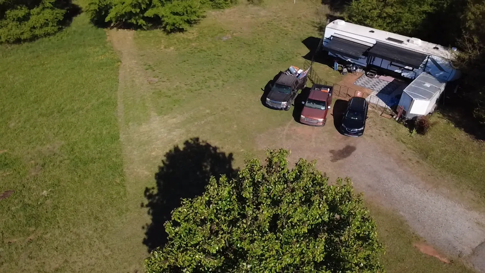
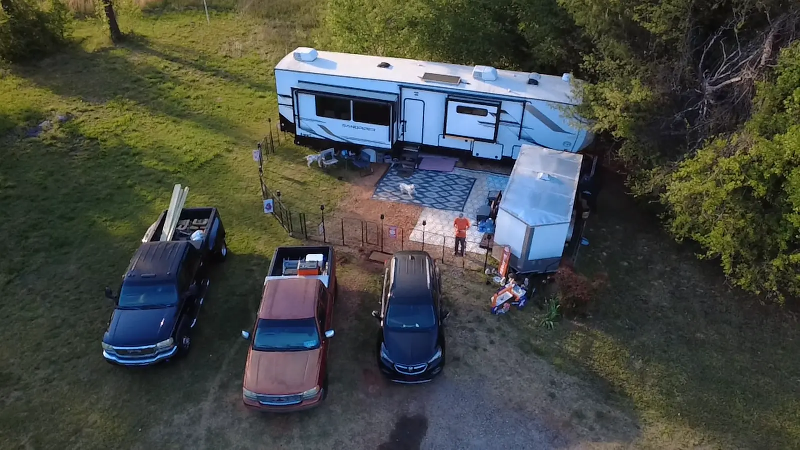
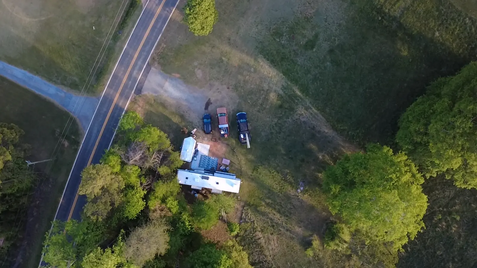
Exterior Conditions Documentation
Exterior conditions affect cable routing, equipment placement, access, weather exposure, and installation time. Documenting those conditions helps clarify scope before the deployment becomes an on-site problem.
Proper documentation gives contractors, clients, and project managers a shared view of the site before decisions are locked in.
Pathway and Entry Planning
Pathway planning matters when exterior equipment has to transition into the building or tie back into existing network infrastructure. Cable paths, penetrations, conduit options, and access limitations should be identified early.
A cleaner plan reduces wasted time, avoids unnecessary penetrations, and supports a more serviceable final installation.
Pre-Deployment Turnover Support
Good site documentation creates a cleaner handoff. Before hardware is ordered, crews are scheduled, or access is coordinated, the site conditions should be clear enough to support an accurate plan.
The goal is not image capture for its own sake. The goal is useful field documentation that supports infrastructure work.
Dearman Tech Execution Standard
Site survey and aerial documentation are handled as infrastructure support work, not standalone media capture. The focus is practical field visibility, deployment planning, roof and pathway awareness, and documentation that supports real installation decisions.
This work is performed from a field perspective, based on real-world cabling, wireless, and exterior deployment experience�not aerial imaging alone.
Related Services
Site survey documentation often supports wireless installs, outside plant troubleshooting, structured cabling, and rooftop or exterior connectivity work. Related service details are available below.
Related Proof
Additional examples of infrastructure cleanup, field repair, and deployment quality are available on the before-and-after page.